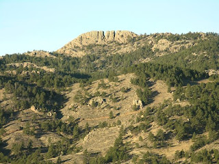
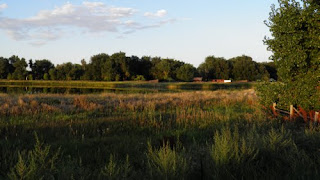
Well Gulch is located in Lory State Park near the same area as the Arthur's Trail. It is a very easy alternative to the somewhat challenging Artur's Rock. The 1.2 mile loop trail sends hikers around a part of the park where many animals are seen. Well Gulch is a foot only trail, meaning that horseback riding and biking are both prohibited. Well Gulch can also be taken to Timber Trail just 1.4 miles away.
Pets- Yes
Trail Length- 1.2 miles (loop)
Hiking In Fort Collins
Thursday, May 24, 2012
Coyote Ridge is off of Taft Hill (Wilson if you are coming from Loveland). The trail goes west from the road up all the way to connect with the Blue Sky Trail, which can be taken south to Devil's Backbone or north to Horsetooth. Dogs are not allowed on this trail, so be careful to leave the pets behind for this hike. The round trip of Coyote Ridge is seven miles, with restrooms about one mile in. Once on the ridge, a good view of Fort Collins and Loveland is present, along with a great view of Devil's Backbone in the distance.
Pets- NO
Round trip length- 7 miles
Pets- NO
Round trip length- 7 miles
Friday, May 18, 2012
Horsetooth Rock is easily the most popular trail in the Fort Collins area. The rock itself is visible from the city (especially while driving west on Horsetooth Road). This trail is highly known an trafficed by people from town, so be sure to head up to this one early so the parking lot isn't full when you get their. The Horsetooth Rock hike is relatively easy. Once on the rock, there is a great view of Fort Collins. Be careful on the trail, as it has been known to be home to rattle snakes.
Trail Length- 2.25 miles
Pets- Yes
Daily Pass- $6
Trail Length- 2.25 miles
Pets- Yes
Daily Pass- $6
Tuesday, May 15, 2012
Greyrock Mountain is a trail located just past Ted's Place at the edge of the Poudre Canyon. The Greyrock Meadows Loop trail is a fairly strenuous 7.15 mile loop. At the top of the mountain, there is a great view of the Front Range, along with a good sized tadpole pond. Because of the length, many people get lost along the trail, so be careful to stay on the designated path.
Pets- Yes
Daily Pass- Free
Trail Length- 7.15 miles
Pets- Yes
Daily Pass- Free
Trail Length- 7.15 miles
Blue Sky Trail is a 3.1 mile long trail that connects the Devil's Backbone Open Space and the Horsetooth County Park, and also breaks off into Coyote Ridge. Open to foot and bike, the Blue Sky Trail sees a good amount of traffic from bikers, hikers and horse riders. If you go north from the starting point, the trail weaves on the shore of Horsetooth Reservoir through a number of campgrounds on the edge. Going south is what will lead you to Devil's Backbone and Coyote Ridge.
Daily Pass- $6
Pets- Yes
Trail Length- 3.1 miles one way
Daily Pass- $6
Pets- Yes
Trail Length- 3.1 miles one way
Monday, May 14, 2012
Along with Pingree Park located outside of Fort Collins, CSU also owns property within Fort Collins known as the Environmental Learning Center or ELC for short. The ELC is located off of Ziegler Road in between Drake and Timberline. Home to lots of Colorado wildlife, the ELC provides Fort Collins with a close connection to nature. Along with a network of trails throughout, the ELC, there is also an injured bird shelter with many recovering birds including a Bald Eagle, a few Golden Eagles, Vultures, Hawks and a few others. The best thing about the ELC is it is completely free to enter and explore.
Pets- NO
Daily Pass- N/A
Pets- NO
Daily Pass- N/A
Saturday, May 12, 2012
Pingree Park is a large area of forest located about an hour and a half up the Poudre Canyon. Home to the CSU Mountain Campus and many campgrounds, Pingree is a great place for people who love the outdoors. Many hikes are available (although not all of them are completely mapped out so be careful not to get lost) all around the park. One hike is a trip through the forest to a B17 Bomber Plane that crashed there in 1943. If you are going to Pingree to camp, there are multiple campgrounds throughout the park that only charge a small fee to enter, and if you don't want to pay, there are tons of camping spots that are on the side of the road and don't require a pass to stay at. So if you have a weekend and want to get out of town, why not drive up to Pingree and check it out?
Pets-Yes
Daily Pass- Varies on your location
(PICTURE: View of the Mummy Range, visible from many points in the park)
Pets-Yes
Daily Pass- Varies on your location
(PICTURE: View of the Mummy Range, visible from many points in the park)
Subscribe to:
Comments (Atom)


